Canada Garmin Compatible Maps
Welcome to the list of Garmin compatible maps for Canada. Click on a row for more info about a given map or filter the list to get exactly what you want. If you are looking for maps of another area please visit the maps page.
Filter Results:
You can limit the list below to just maps containing the features you want by checking or unchecking these boxes and hitting Filter:
Map Name


The map analyzes all available OSM data to display paved roads separately from unpaved roads; tracks and service roads that are open to motorcycles separately from those that are closed to motorcycles; and track grades, surface warnings, narrow roads, weir crossings, ford crossings, protected areas, footpaths, and steep terrain (as contour lines). The map is intended for adventure motorcycling, both on and off road, but it also works for cars, 4x4s, ATVs, and pedestrians, with the respective Garmin setting. The map does not display mountain bike and bridle trails unless they also permit motorcycles or pedestrians. The map includes an optional overlay of the Trans Australia Trail. There is a contact form on the download page in case of any queries.
View Map Details/Download
View Map Details/Download
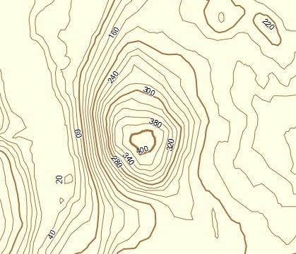
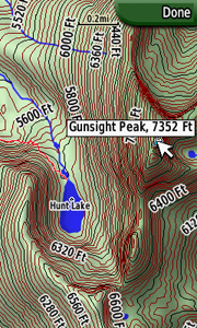
A transparent map of topo contour lines at 20m spacing for the province of British Columbia that can be overlaid on top of any other map. The map is packaged in an installer that will install it into both Garmin MapSource and Garmin BaseCamp.
View Map Details/Download
View Map Details/Download
Topo Map for the Provinces of Manitoba, Ontario and Quebec
View Map Details/Download
View Map Details/Download
Topo Map for Nova Scotia, Prince Edward Island, New Brunswick, Newfoundland and Labrador
View Map Details/Download
View Map Details/Download
Topo Map for the Yukon, Northwest and Nunavut Territories
View Map Details/Download
View Map Details/Download
Topo Map for Canadian Provinces of British Columbia, Alberta and Saskatchewan
View Map Details/Download
View Map Details/Download
This mapset is for Garmin Oregon/Colorado/Dakota GPS users who have City Navigator maps and want to navigate at night without glare. Enable this map when the sun goes down for a Night Mode similar to the Nuvi's.
View Map Details/Download
View Map Details/Download
Transparent overlay map showing the close approximate path, centerline, and boundaries of the annular solar eclipse of June 10, 2021.
View Map Details/Download
View Map Details/Download
Elliot Lake, Ontario ATV trails consisting of the 5 loops and several connector / shortcut trails. Approximately 160 miles of trails.
View Map Details/Download
View Map Details/Download
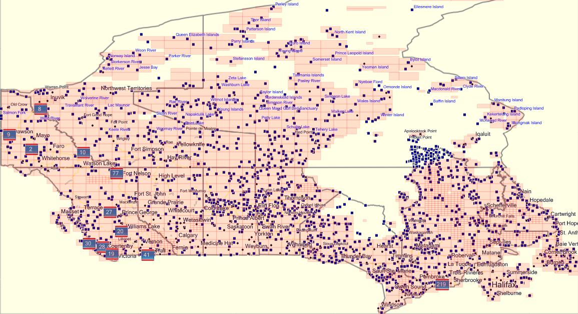
A very detailed topographic map covering a significant part of Canada with detailed roads as well as water features and contour lines. The coverage of Canada is shown below:
 .
The Ibycus Canada Topo is available for free in both Windows & Mac versions.
.
The Ibycus Canada Topo is available for free in both Windows & Mac versions.
View Map Details/Download
.
The Ibycus Canada Topo is available for free in both Windows & Mac versions.View Map Details/Download
Version 0.24 (April 26, 2013):
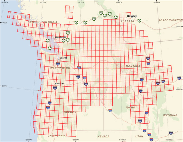
A mapset containing contours, hydrology, roads, trails, points of interest and more for all of Washington State, plus growing portions of Oregon, Idaho, Montana, British Columbia, and Alberta.
View Map Details/Download
View Map Details/Download
A map of most snowmobile trails in Ontario, Canada. This map is offered as either a transparent trails only version or a complete version with rivers, lakes, and roads. The map also includes pertinent points of interest including hotels and service stations.
View Map Details/Download
View Map Details/Download
A map of recreational trails in the Province of Ontario, created by volunteers. Distributed as a transparent map for Garmin GPS units, and also in GPX and Shapefile for other GPS units. Can be viewed in Google Earth using KML file.
View Map Details/Download
View Map Details/Download
World maps created from OpenStreetMaps data, designed for Garmin fenix watch. Version 10 released February 2016.
View Map Details/Download
View Map Details/Download
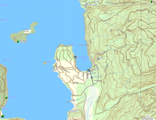
a map of vancouver island and surrounding islands; contours at 10m, roads/resource roads, trails, parks, lakes/rivers/reservoirs, placenames. [DOWNLOAD]
View Map Details/Download
View Map Details/Download
Trail data for the area of interest to people living in Southern Alberta, Canada. This data is built into a map compatible with mapping capable Garmin and Magellan brand GPSr units.
View Map Details/Download
View Map Details/Download
World shaded relief kmz
View Map Details/Download
View Map Details/Download
Western portion of a world topo map from VMAP0/DCW 1:1,000,000 scale source data
View Map Details/Download
View Map Details/Download
Note: A ![]() symbolizes an external link. That means it is not hosted by or provided by GPSFileDepot.
symbolizes an external link. That means it is not hosted by or provided by GPSFileDepot.