EGM2008 Free-air Gravity Anomalies Map
Created By: Indrid Cold
Last Updated: December 26th, 2009 9:12pm
Map Coverage:
North: 45°
West: 135°
East: 90°
South: 0°
Country: Mexico, United States
Price: Free-air
![]()
![]()
![]()
![]()
![]()
![]()
Most Popular Maps
- My Trails-High Quality Trail and POI Maps
- Arizona Topo
- World Topo - Eastern
- Florida Topo
- WV-VA-KY Feb 3 2025 Public Map
Other Maps By Indrid Cold (See All)
In geodesy and geophysics, the usual model is the surface of a global spheroid (ellipsoid of Hayford or WGS84) by rather simple formulae (2 functions of latitude).
The observed value of gravity has to be reduced down to the zero level of the geoid, using
- the elevation of the point where gravimetry was done. This is called a Free-air Correction.
- the normal gradient of gravity (rate of change of gravity for change of elevation), as in free air, usually 0.3086 milligals per meter, or the Bouguer gradient of 0.1967 mGal/m (19.67 µm/(s²·m) which considers the mean rock density (2.67 g/cm³) beneath the point; this value is found by subtracting the gravity due to the Bouguer plate, which is 0.1119 mGal/m (11.19 µm/(s²·m)) for this density. Simply, we have to correct for the effects of any material between the point where gravimetry was done and the geoid. To do this we model the material in between as being made up of an infinite number of slabs of thickness t. These slabs have no lateral variation in density, but each slab may have a different density than the one above or below it. This is called the Bouguer Correction.
- and (in special cases) a terrain model, using a map or a digital terrain model (DTM). A terrain correction, computed from a model structure, accounts for the effects of rapid lateral change in density, eg. edge of plateau, cliffs, steep mountains, etc.
For these reductions, different methods are used:
- free-air anomaly (or Faye's anomaly): application of the normal gradient 0.3086, but no terrain model. This anomaly means a downward shift of the point, together with the whole shape of the terrain. This simple method is ideal for many geodetic applications.
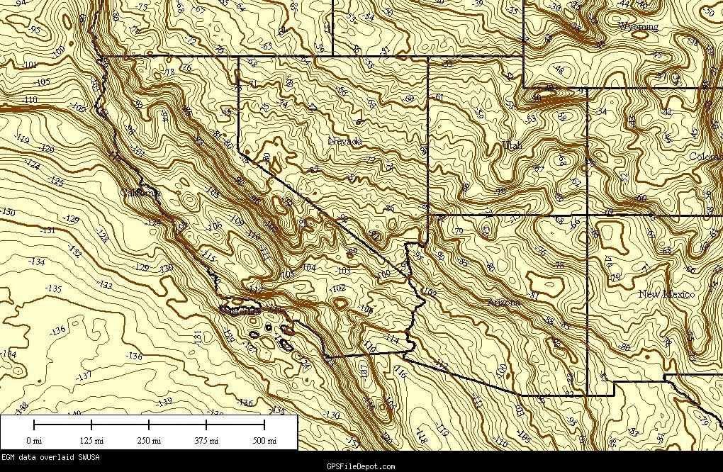
This Mapset is a transparent overlay, with Green contours (labled as EGM) set at 1 foot intervals, cut into 5°x5° segments matching Garmin's World Basemap.
The following image shows the data (brown in this image) with a border shapefile overlaid for reference.
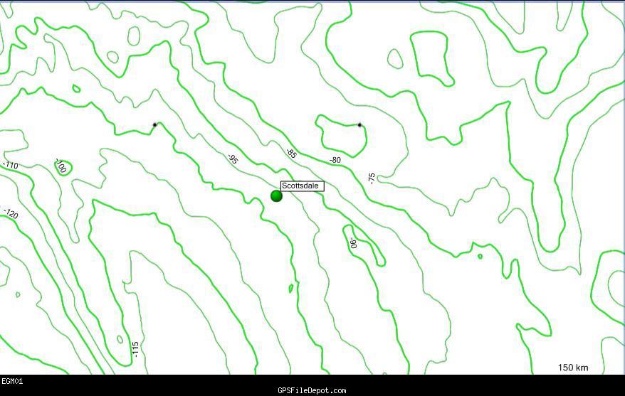
Overlay (Major/10' and Intermediate/5' shown, Minor/1' on zoom in)
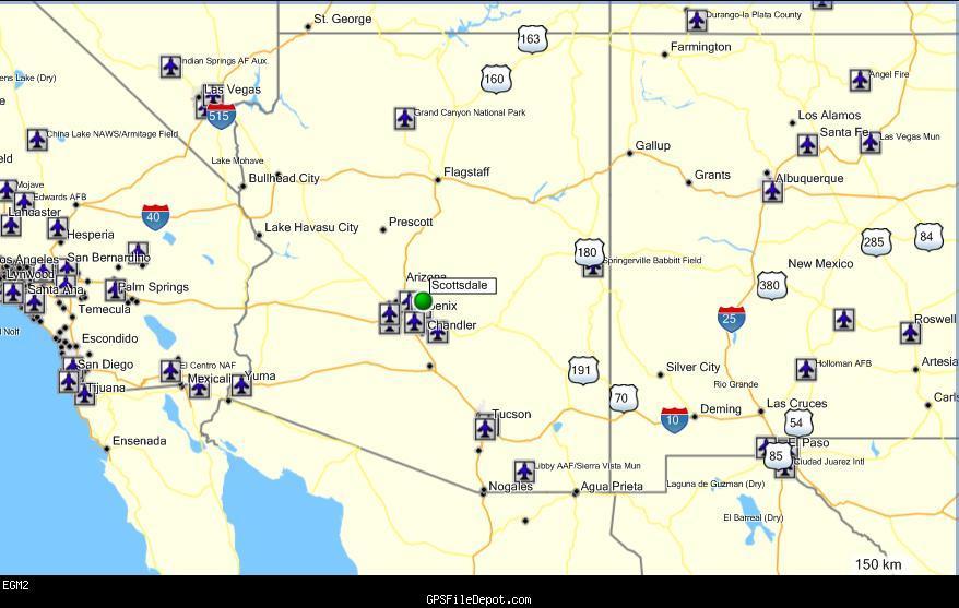
Same area in World Basemap:
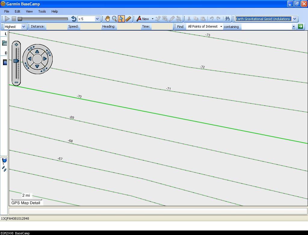
Sample in BaseCamp:
 Download Windows Version [5MB] (3362 Downloads)
Download Mac Version [10MB] (1456 Downloads)
References
Map data source:
Changelog
Version 1.00 (25 May 09)
- Initial release Coverage: 0°N~45°N, 135°W~90°W (1/32 planet)