Ben Nevis IMG Map
Created By: jolly47roger
Last Updated: December 12th, 2015 7:12am
Map Coverage:
North: 56.86°
West: -5.28°
East: -4.95°
South: 56.68°
Country: United Kingdom
Price: free
![]()
![]()
![]()
![]()
![]()
![]()
![]()
Most Popular Maps
- My Trails-High Quality Trail and POI Maps
- Arizona Topo
- World Topo - Eastern
- Florida Topo
- WV-VA-KY Feb 3 2025 Public Map
Other Maps By jolly47roger (See All)
This map is a pilot for a project to map the whole of the UK based on Ordnance Survey OpenData vector mapping combined with trails and points from Open Street Map. The file is a IMG only.
If the project completes, the mapping will be sold for 25 British Pounds (+VAT in Europe).
Please give me feedback - positive or negative - about this mapping. The first ten to give feedback will, if the project completes, receive a free copy. john (at) the-thorns.org.uk
See here for a comparison of this mapping (left) and OSM (from wuppertal) right http://www.the-thorns.org.uk/mapping/comparison.png
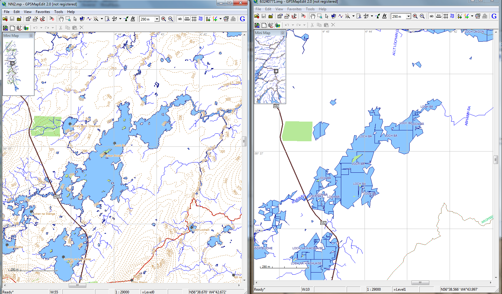
"Contains Ordnance Survey data © Crown copyright and database right 2010, also data that is copyright Open Street Map and contributors"
 Download Windows Version [1MB] (2104 Downloads)
Download Mac Version [1MB] (1128 Downloads)